Licence: Public Domain Mark
Credit: Sales catalogue: Sotheby's. Source: Wellcome Collection.
43/208 page 39
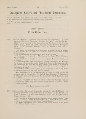
![299 Heather (W.) Eight folding Maps :—Chart of the English Channel, 1801; Atlantic, 1797; Madeira and Canary Islands, 1801; Guayana, Cayenne, Sierinam, 1797; West India, or, Carribbee Islands, 1795: West Indies, 1797; America with the Harbors of Port Royal, Savannah, 1799; America, with the Harbors of New York, Boston, &c. 1799, in 1 vol. boards, broken 300 De Witt (F.) and others. Sixteen coloured Maps, including one of America, mostly torn wm the folds, boards broken, ce. 1700—Michelot. Charts, Plans, etc. 19 plates on guards, calf, worn c. 1720; the lot sold not subject to return (2) Hnotber Property. 301 CuHarts. Album containing 425 folding and other large scale Charts by A. Dalrymple, including charts of South American and Australian coasts, half calf folio. L7TD-94 302 CHarrs. Album containing 34 folding and other large scaie charts by A. Dalrymple, including charts of “South American and Australian coasts, half calf folio, 1779-91 THE GEOGRAPHICAL COLLECTION of the late Sir George JForobam, of Odsey, [Sotp By OrpEeR oF W. H. ForpHaAm, Esq. ]. The collection has been carefully examined and defects noted have been referred to, but, as is usual with geographical material, each lot will be sold not subject to return. SIZES MIXED. 303 Adams (J.) Index Villaris: or, an Alphabetical Table of all the Cities, Market-Towns, Parishes, Villages, and Private Seats, in England, contemporary calf, gilt folio. 1680](https://iiif.wellcomecollection.org/image/b31648071_0043.jp2/full/800%2C/0/default.jpg)
 No text description is available for this image
 No text description is available for this image
 No text description is available for this image