Licence: Public Domain Mark
Credit: Sales catalogue: Sotheby's. Source: Wellcome Collection.
45/208 page 41
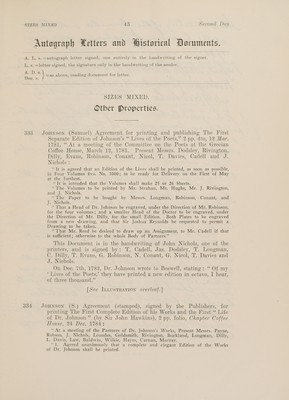
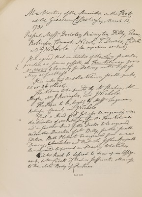
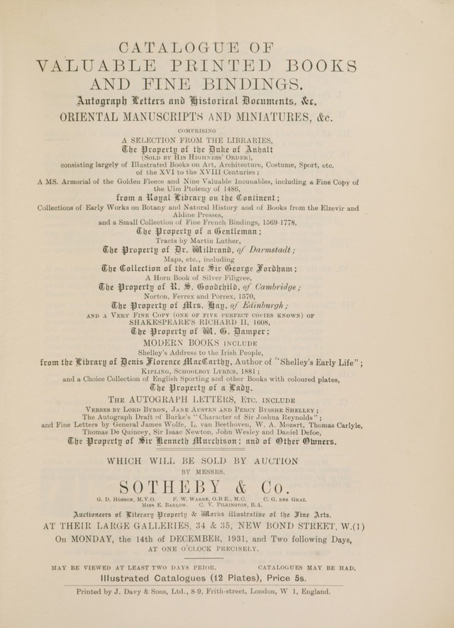
![315 316 318 319 320 321 B22 323 Fordham (Sir H. G.) Hertfordshire Maps: A Descriptive Catalogue, portrait and plates, half morocco, q. t. sm. 4to. Hertford, 1907 ** The Author’s interleaved copy with numerous MS. notes and extra illustrations. Fordham (Sir H. G.) The Road Books and Itineraries of Great Britain, 1570-1850, Cambridge, 1924; Catalogue des Guides-Routiers et des Itineraires Francais, 1552-1850, Paris, 1920, the Author’s interleaved copies with numerous MS. notes, insertions and extra-illustrations— County Cartography, Communications to the Cambridge Antiquarian Society, etc. 1901-8—Carto-Bibliography, Papers before the Cambridge Antiquarian Society, Bibliographical Society, ete. 4 vol. 1910-26, all in half green morocco, g.€e. 8vo. (7) Gilleland (J. C.) The Ohio and Mississippi Pilot, 7he Ohio Pilot only, woodcut charts, corners frayed, original wrappers, slightly defective 12mo. Pittsburgh, 1820 ** Formerly the property of the naturalist Charles Alexandre Lesueur. Grose (F.) The Antiquities of England and Wales, 7 vol. folding and other plates, old russia, some covers loose 4to. 1785-97 Harrison (W.) Highways and Turnpikes in Lancashire and Cheshire, Manchester, 1893 ; bound with 6 other pamphlets on Carto Bibliography, half morocco, g.t.; and 16 other books and pamphlets of the same 8vo. (7) Mackenzie (Sir G.) Travels in the Island of Iceland, coloured and other plates, russia, worn 4to. Edinburgh, 1811 MISCELLANEOUS Maps, 69 items, including Saxton’s Map of Hertford- shire, colowred, 1642; Saxton’s Map of England and Wales, 20 sheets, Lee’s edition, 1687 ; Mortier’s Map of England, coloured, 1688; Bowle’s 20 miles round London, coloured, 1730; Jeffery’s Map of Grenada, coloured, 1775; Jaillot’s Plan of Paris, 1710 (reproduction 1908), ete. in portfolio MISCELLANEOUS ATLASES AND Books, including Sanson’s Atlas, maps coloured im outline, wants title, etc. |? 1658]; Saxton (C.) All the Shires of England and Wales, maps coloured in outline, old sheepskin, rubbed [1699]; Camden (W.) Britain, calf, top cover loose, 1637, ete. sizes mixed Mogg (K.) London in Miniature, folding coloured map, in slip case, 1810 —Cruchley’s New Plan of London and its Environs, folding coloured map, original cloth, 1847; and another (3)](https://iiif.wellcomecollection.org/image/b31648071_0045.jp2/full/800%2C/0/default.jpg)
 No text description is available for this image
 No text description is available for this image
 No text description is available for this image