The geographic distribution of disease in Great Britain.
- Haviland, Alfred, -1903
- Date:
- 1892
Licence: Public Domain Mark
Credit: The geographic distribution of disease in Great Britain. Source: Wellcome Collection.
Provider: This material has been provided by the Harvey Cushing/John Hay Whitney Medical Library at Yale University, through the Medical Heritage Library. The original may be consulted at the Harvey Cushing/John Hay Whitney Medical Library at Yale University.
66/440 page 42
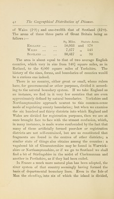
![of Wales (2-0); and one-twelfth that of Scotland (12'0). The areas of these three parts of Great Britain being as follows :— Sq. Miles. Statute Acies. England 50,933 and 178 Wales 7,377 „ 54:] Scotland ... ... 30,417 ,, 98 The area is about equal to that of two average English counties, which vary in size from 148J square miles, as in Rutland, to the 6,066 square miles of Yorkshire. The history of the sizes, forms, and boundaries of counties would be a curious one indeed. There is no country, either great or small, whose rulers have, for governmental or other purposes, divided it accord- ing to the natural boundary system. If we take England as au instance, we find in it very few counties that are even approximately defined by natural boundaries. Yorkshire and Northamptonshire approach nearest to this common-sense mode of regulating county boundaries; but when we examine the six hundred and thirty districts into which England and Wales are divided for registration purposes, then we are at once brought face to face with the utmost confusion, which, in many instances, is made worse confounded by the fact that many of these artificially formed poor-law or registration districts are not self-contained, but are so constituted that fragments are found in the centres of other districts; a similar state of things also obtains among the counties : a vagabond bit of Gloucestershire may be found in Warwick- shire or Northamptonshire, or if we go to Scotland we shall find a bit of Stirlingshire in the midst of Clackmannan and another in Perthshire, as if they had been exiled. In France a much more natural plan has been adopted, the river system of that country seemingly having formed the basis of departmental boundary lines. Even in the Isle of Man the sheading, into six of which the island is divided,](https://iiif.wellcomecollection.org/image/b2102098x_0066.jp2/full/800%2C/0/default.jpg)


 No text description is available for this image
 No text description is available for this image
 No text description is available for this image