Skip to main content
Wellcome Collection homepage
Visit us
What’s on
Stories
Collections
Get involved
About us
Sign in to your library account
Search for anything
Library account
Search for anything
Search
Home
|
Collections
Thomas Jefferys
English cartographer
Wikidata
Source:
Wikidata
Field of work
Geography
Bookstores
Cartography
On this page
On this page
Images from the collections
Works from the collections
Related topics
Images from the collections
Images by Thomas Jefferys
37 images from works
View all
Works from the collections
43 works
Pictures
Online
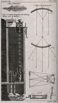
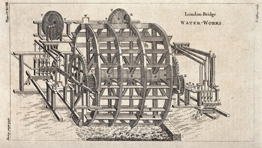
A mine: cross-section of a machine for extracting water from the pit and three optical diagrams. Etching by T. Jefferys.
|
Date: [1754]
|
Reference: 29267i
Pictures
Online
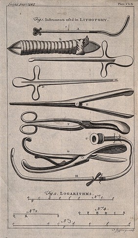
Surgical instruments: syringes. Engraving with etching by T. Jefferys.
Thomas Jefferys
|
Reference: 47764i
Pictures
Online
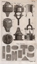
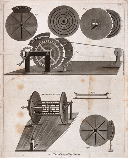
Inventions: various types of pistons and plasters. Engraving by T. Jeffrys.
|
Reference: 45325i
Pictures
Online
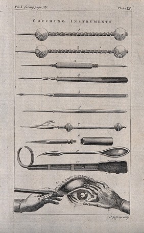
Couching instruments. Engraving by Thomas Jefferys.
Thomas Jefferys
|
Reference: 47760i
Pictures
Online
The liver of a foetus: two figures, showing a dissected liver, its blood-vessels, and the gall-bladder. Engraving by T. Jefferys, ca. 1763.
Thomas Jefferys
|
Date: [1763?]
|
Reference: 564031i
View all
Related topics
Surgical Instruments
Human anatomy
Inventions
Iron
Metals
Close modal window