Skip to main content
Wellcome Collection homepage
Visit us
What’s on
Stories
Collections
Get involved
About us
Sign in to your library account
Search for anything
Library account
Search for anything
Search
Home
|
Collections
Herman Moll
18th-century English cartographer (1654–1732)
Wikidata
Source:
Wikidata
On this page
On this page
Images from the collections
Works from the collections
Images from the collections
Images featuring Herman Moll
1 image from works
Works from the collections
Works by this person
Works by this person
Works featuring this person
Works featuring this person
4 works
Books
Online
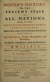
Modern history or, the present state of all nations. Describing their respective situations, persons, habits, and buildings, manners, laws and customs ... plants, animals, and minerals / by Mr. Salmon ; illustrated with cuts and maps ... by Herman Moll.
|
Thomas Salmon
|
Date: 1744-1746
E-books
Online
Fifty six new and acurate maps of Great Britain, Ireland and Wales With all the direct and cross roads exactly tracted in the maps, which are more full and exact than any extant, having all the cities, Parliament and market towns, villages, parks, hundreds, wapentacks, &c. distinguish'd. Begun by Mr. Morden: perfected, corrected and enlarg'd by Mr. Moll. The name of the maps, 1 The S. part of G. Britain. 2 The N. part of G. Britain. 3 Ireland. 4 Berkshire. 5 Bedfordshire. 6 Buckinghamshire. 7 Cambridgeshire. 8 Cheshire. 9 Cornwall 10 Cumberland. 11 Derbyshire. 12 Devonshire. 13 Dorsetshire. 14 Durham. 15 Essex. 16 Glocestershire. 17 Hampshire. 18 Isles of Wight, Jersey, Guernsey, Seilly, Sark, Alderney, Man, &c. 19 Herefordshire. 20 Hertfordshire. 21 Huntingdonshire. 22 Kent. 23 Lancashire. 24 Leicestershire. 25 Lincolnshire. 26 Middlesex. 27 Monmouthshire. 28 Norfolk. 29 Northamptonshire. 30 Northumberland. 31 Nottinghamshire. 32 Oxfordshire. 33 Rutlandshire. 34 Shropshire 35 Somersetshire 36 Surrey. 37 Sussex. 38 Staffordshire. 39 Suffolk. 40 Warwickshire. 41 Westmorland. 42 Wiltshire. 43 Worcestershire. 44 Yorkshire. Wales. 45 Anglesey.
|
Morden, Robert, d. 1703.
|
Date: 1708
E-books
Online
Monasticon Hibernicum. Or, the monastical history of Ireland. Containing, I. All the Abbies, Priories, Nunneries, and other Regular Communities which were in that Kingdom. II. The Time when, and the Titles under which, they were founded. III. The Name and Quality of their Founders. IV. The Provinces, Counties, Cities or Towns in which they were seated. V. The several Regular Orders to which they belong'd, and the most remarkable Circumstances relating to their Foundation and Suppression. VI. Historical and Critical Observations, and Draughts of their several Habits, with a Map of Ireland
|
Stevens, John d. 1726.
|
Date: 1722
Books
Online
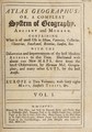
Atlas geographus: or, a compleat system of geography, ancient and modern / Containing what is most of use in Bleau, Varenius, Cellarius, Cluverius, Baudrand, Brietius, Sanson, &c. With the discoveries and improvements of the best modern authors to this time. Illustrated with about 100 new maps, done from the latest observations, by Herman Moll, geographer. And many other cuts, by the best artists.
|
Herman Moll
|
Date: 1711-1717
1 work
Books
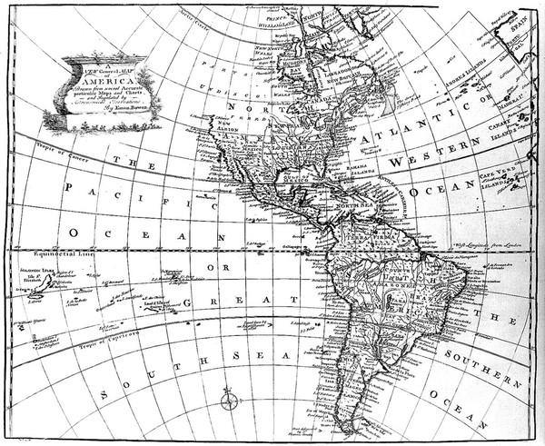
A complete system of geography. Being a description of all thecountries, islands, cities, chief towns, harbours, lakes, and rivers, mountains, mines, &c. of the known world. Shewing the situation, extent, and boundaries of the several empires, kingdoms, republics, principalities, provinces, &c. their climate, soil, and produce ... and the distance and bearing of all the principal towns from one another. Including the most material revolutions and changes that have happen'd in every state ... / The whole llustrated with seventy maps by Emanuel Bowen.
|
Emanuel Bowen
|
Date: 1747
Close modal window