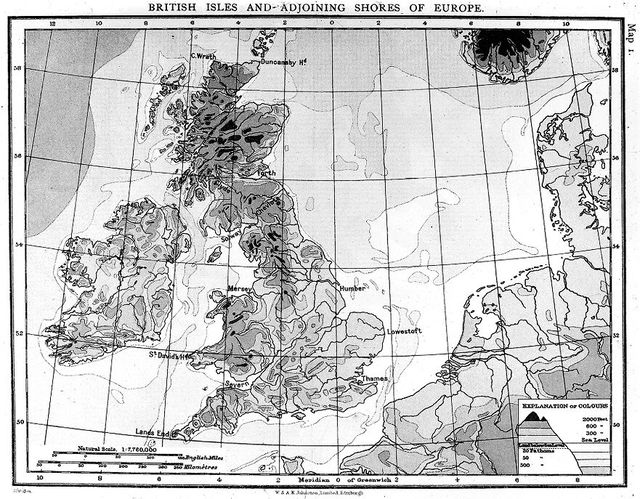
M0015328: Map of British Isles and adjoining lands, showing heights and submarine contours
- Date:
- October 1956
- Reference:
- WT/D/1/20/1/136/93
Licence: In copyright
Credit: M0015328: Map of British Isles and adjoining lands, showing heights and submarine contours. Source: Wellcome Collection.