In copyright
It is possible this item is protected by copyright and/or related rights. You may be able to use this digital item under a copyright exception, otherwise you need to obtain permission from the rights-holder(s). These may be identified elsewhere in the catalogue record. Read more about copyright.
Read further guidance on copyright exceptions in the UK.
Credit
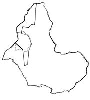
M0018127: Map of the "cattle area" of East Africa with the dotted line showing the boundary of British East Africa (East Africa Protectorate). In copyright. Source: Wellcome Collection.