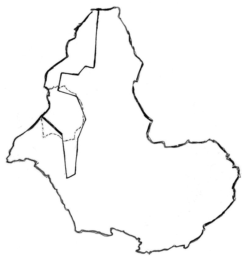
M0018127: Map of the "cattle area" of East Africa with the dotted line showing the boundary of British East Africa (East Africa Protectorate)
- Date:
- July 1960
- Reference:
- WT/D/1/20/1/161/54
Licence: In copyright
Credit: M0018127: Map of the "cattle area" of East Africa with the dotted line showing the boundary of British East Africa (East Africa Protectorate). Source: Wellcome Collection.